
Nebraska Map circa 1860
Nebraska was part of the Louisiana Territory when the United States purchased it from France. Trading posts and forts were established near present-day Omaha in early 1813, with the first settlement, Bellevue, established in 1823. The Homestead Act of 1862 allowed settlers to claim 160 acres of land free in eastern Nebraska, and statehood was granted on March 1, 1867, in a proclamation signed by President Andrew Johnson.
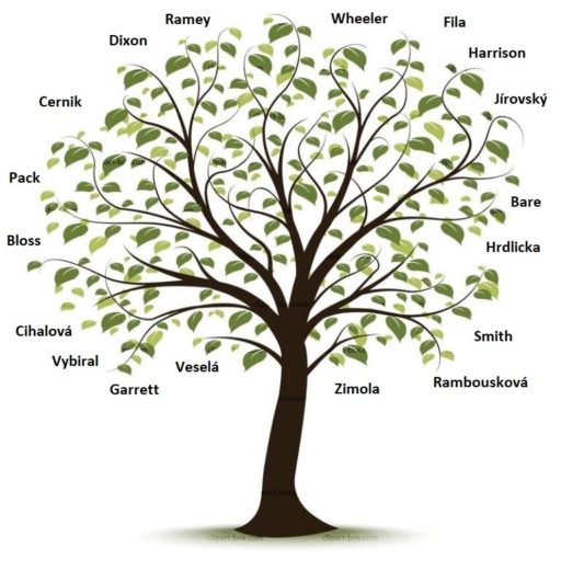
Our families, Benal, Brabek, Černík, Cíhal, Fanning, Fila, Hrdlicka, Jírovský, Meduna, Patzloff, Simodynes, Smith, Tesina, Tomsicek, Vlcek, Vybíral, Zachorek, Zimola and many other close relatives, settled in the eastern portion of Nebraska. Below are some of those places.


Downtown Omaha.
Omaha
Omaha is the most populous city in the U.S. state of Nebraska and the county seat of Douglas County. Our parents moved to the city after our father left the Air Force and went to work for IBM. This is where they lived for the remainder of their lives and where the last for sons were all born.
Get to know Omaha, Nebraska.

Colon Nebraska in the late 1800s.
Colon
Our Czech ancestors were early settlers of several towns in Saunders County. We often think about Wahoo first, but Wahoo was actually later for many of them. Many settled south of Cedar Bluffs and all around Colon.
Get to know Colon, Nebraska.

Wahoo 5th Street looking east in early 1900s.
Wahoo
Originally the village of Wahoo was called “Leesville” for its founders, but was soon renamed “Wauhoo.” It is thought that word comes from the name of a bush which grew along nearby creeks and was used by the Oto for medicinal purposes. The “u” was dropped from the spelling, probably by postal authorities when they approved an office on July 15, 1869. It is the only town in the USA by that name.
Get to know Wahoo, Nebraska.
I’d like to hear about some of these photos that I’ve never seen before.
Don, Thanks for doing this, such interesting stories. I love it.